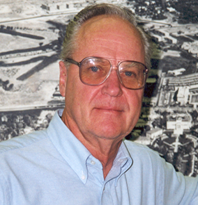
Merrill Ridd
 Merrill Ridd was professor in the Department of Geography from 1967 to 2004. Professor Ridd graduated
from the University of Utah with a BS in 1954 and MS in 1960, and received his Ph.D.
from Northwestern University in 1963. After serving in the Korean War, Ridd was the
project leader of Multiple Use Research at the U.S. Forest Service Intermountain Experiment
Station, Ogden, Utah from 1962 to 1965. From 1965 to 1967, he was associate director
and editor of the Earth Science Curriculum Project for the National Science Foundation,
culminating in Investigating the Earth, a secondary school textbook and laboratory manual, while conducting workshops for
teachers and professors in the West, Washington D.C. and Bangalore, India. He served
as Geography chair from 1971 to 1979. Having a background in geography, geology, and
ecology Dr. Ridd was the lead-off instructor of the five professors who started the
Environmental Studies program at the University of Utah.
In 1975 Professor Ridd established the Center for Remote Sensing and Cartography with funding from NASA, conducting and publishing research as a training ground for over 45 graduate student advisees. He published over 70 technical papers and reports, many with students as lead author, and was the author or editor of several books on geography and earth science education. Some of his most impactful research was his pioneering work on remote sensing of urban environments. After retiring, Professor Ridd established a scholarship that has supported several undergraduate geography majors over the years. He is fondly remembered for creating the hand-drawn map of Utah landforms that hangs in the School of Environment, Society & Sustainability office.
